It all began when he was a high school student happily dabbling in map drawing, when maps were still drawn by hand. The student, Fung Tung, later took up the study of cartography, or map making, in university and became a professor in the Department of Geography and Resource Management at CUHK, teaching remote sensing sciences and applications. His academic trajectory highlights the development of man's effort to scale and map the territory he inhabits.
The paramount virtue of a map is accuracy and the first step of map making is to collect relevant data, which is usually done by surveys and results in a number of base maps. It is little wonder that such resource-intensive groundwork is often carried out by and under the supervision of the government.
But Professor Fung pointed out that maps are legal documents as well and have legal effects, as the delineation of boundaries have impact on questions of ownership and attendant rights. The stability of a map's dimension is therefore of paramount importance, for a slight variation will result in discrepancies and disputes. Cartography is an exact science. In fact, the requirement for accuracy is so stringent that the maps kept by the government are not made of paper, whose size and dimensions may be affected by atmospheric variations, but made of mylar or photographic film.
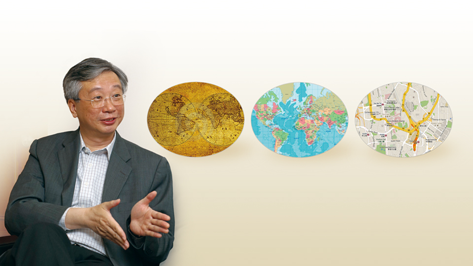
Professor Fung also said that since a map, at least the traditional kind, is a two-dimensional representation of the three-dimensional globe we live in, there are inevitably distortions in the projection. One basic tenet in cartography is that no single map can include everything. One can at any time choose to emphasize equal area, or equal shape (conformal), or equal distance. One can only choose to preserve one characteristic at the expense of others. For example, a map can show the correct area of a county, whereas in the same map the exact shape of the county surface must be sacrificed. Sometimes the preference of one characteristic over another may have unintentional consequences, a famous example being the so-called Mercator projection which exaggerates the polar regions at the expense of the equatorial parts, thereby inviting criticism of a north-south tilt with geo-economic biases.
Within its four corners, a map has a wealth of information. It can have many map layers each of which provides data defined according to different criteria. For example, a map of buildings may be refined into the outlines of buildings, parts of buildings and types of building. With computer technology, more kinds of data may be included in a map, and called up for tailor-made visual representation according to the choices of its users. In addition to physical maps, the genus includes many species defined according to functions with practical consequences. Maps showing planned land uses and dangerous slopes, to give two examples, are daily tools to town planners, developers and property owners.
In other words, contrary to the layman's conception that there is a definitive map for any part of the Earth's surface, there are actually many maps serving different purposes for particular groups of users.
The universe of cartographic uses is expanding, too. Apart from the more familiar physical and geographical maps, for example, census data can generate maps carrying a layered range of demographic information (age, sex, education, income level, religion, etc.). The benefit to, say, an owner of a business entity who may want to know the distribution of his stores in relation to parameters such as population, income level and competitors, is obvious. Geographical information has wide applications, and the importance of maps as a planning and development tool cannot be overstated.
With GIS technology, many functions can be merged and correlated into one map, or many maps, for analytical purposes. All the data can come into dialogue with each other, as long as the coordinates remain the same. Such change in cartographic thinking has brought about new possibilities.
Professor Fung recalled his university days when students of cartography had to actually draw and make maps manually. They had to learn what to include and what not to. For example, in drawing a map of the Yangtze River, one would have found oneself acquiring related information such as that on the provinces and cities along the river. Nowadays, computer technology and the internet have made it so much easier for the students that they rarely go through such drills. To Professor Fung, the click is too convenient as it has deprived students of the opportunity to go back to the basics.
Reflecting on his career at CUHK, Professor Fung was particularly fond of one service to the community. Since a decade ago, the Department of Geography and Resource Management has been providing consultancy services to the government in using satellite data to record and update the land use, urban development and environmental changes in the territory, which has greatly improved the practice and record system of the government authorities for the benefit of charting and planning for the territory's development.
With development in remote sensing technology, hitherto inaccessible parts of the globe have become at least theoretically accessible so that any part on the globe's surface can be surveyed for the purpose of cartographic representation. For example, microwave technology can penetrate thunderstorms and clouds to map the equatorial rainforests in South America in all weather in order to obtain new and accurate data to complete the jigsaws in that part of the world.
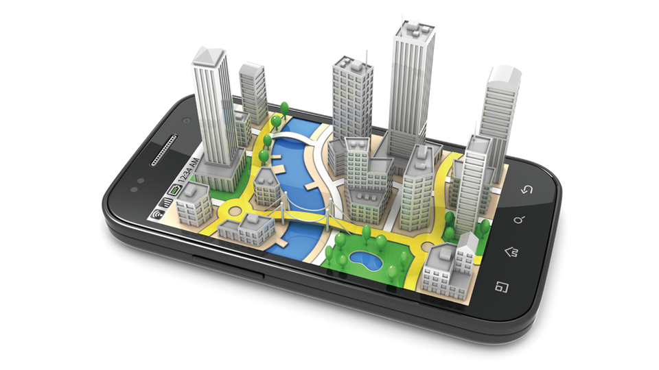
Finally, coming to Google Map and GPS, Professor Fung thought that such new tools have certainly brought advantages to the users, and open up maps and map-making to all. For instance, passers-by can take pictures of trees threatened by bugs and upload those pictures to a website to notify the authorities of trees needing treatment. This is an example of common people taking part in providing and enriching geographical information or 'volunteer mapping'.
Like many disciplines, cartography has seen drastic changes in the last couple of decades. 2D or 3D, maps represent man's unquenchable desire to know what's out there and beyond. The advance of new technologies has not rendered cartography into an obsolete art but rather suggested possibilities for its reinvention.